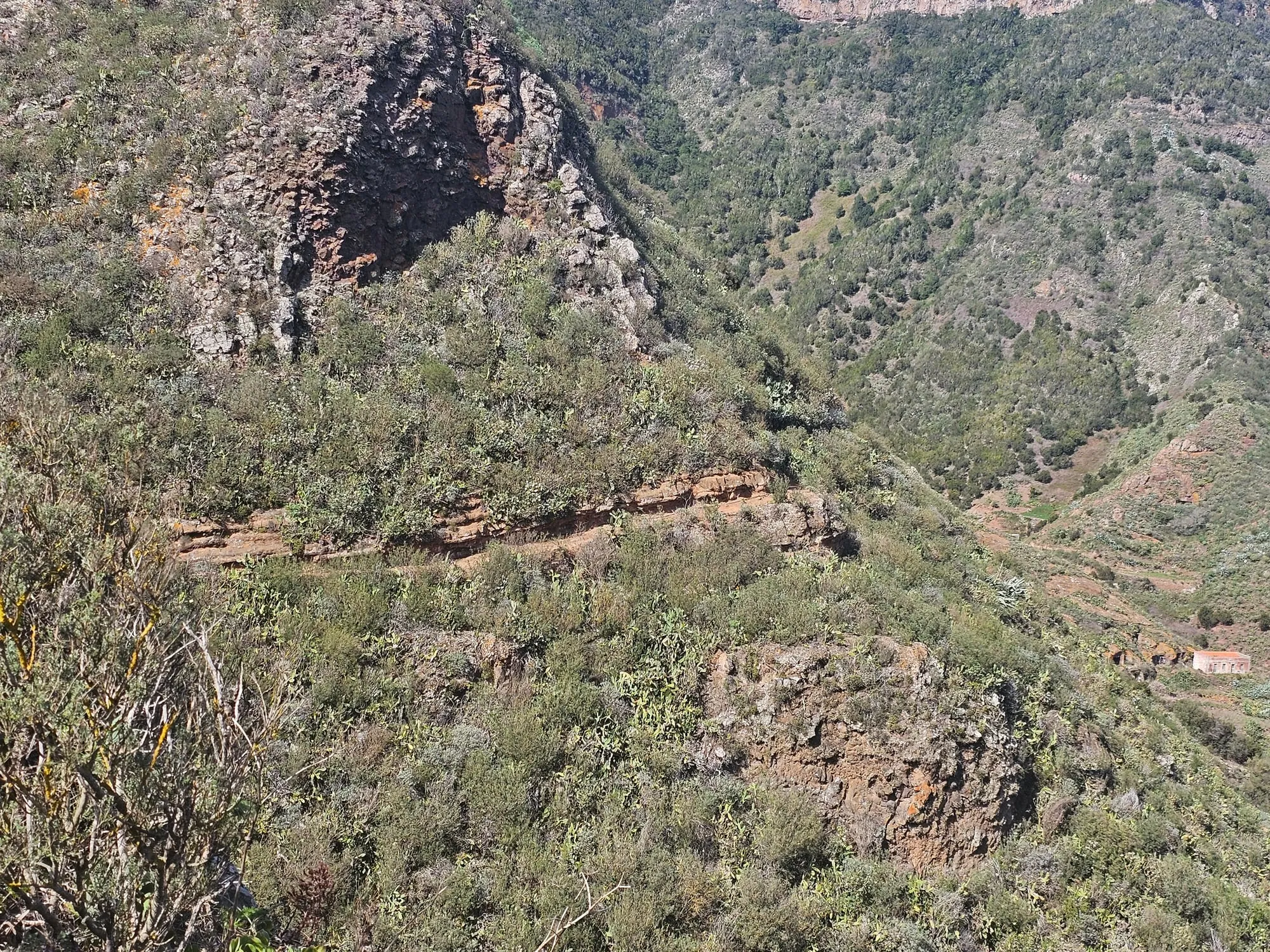
The Pijaral trail in Anaga — the bosque encantado, or enchanted forest — is the walk people mean when they say Tenerife has a rainforest. It is a moderate two and a half hours through dripping laurel forest, ninety minutes’ drive from San Marcos, and you cannot simply turn up: it needs a permit, booked in advance.
The permit, first
This is the part that catches people out, so deal with it before anything else.
Access to Pijaral is capped to protect the forest. As of August 2026, entry is limited to 45 people per day, each permit covers up to five people, and bookings open roughly two weeks ahead through the Cabildo de Tenerife’s Tenerife ON site or app. The permit itself is free.
Book as soon as your dates are fixed. Popular days go, and there is no on-the-day alternative — without a permit you will be turned back.
Most of Anaga needs no permit at all. It is specifically Pijaral and Monte de Aguirre that are controlled.
What laurisilva actually is
The forest is the reason for the restriction. Laurisilva is subtropical laurel cloud forest — a vegetation type that covered large parts of southern Europe and North Africa millions of years ago, and which survives now almost entirely in the Macaronesian islands: the Canaries, Madeira and the Azores.
Anaga holds the largest remaining stand on Tenerife, and UNESCO made the massif a Biosphere Reserve substantially because of it. Walking through it is genuinely strange: moss on every surface, cloud moving through the canopy, and a density of green that has nothing to do with the island you drove across to reach it.
The practical shape of the day
Ninety minutes each way from San Marcos, plus two and a half hours walking, makes this a full day rather than a morning. Leave early.
Take a waterproof. Anaga makes its own weather — the trade winds hit the massif and condense, which is exactly why the forest is there — and it can be raining in Anaga while San Marcos is in full sun. Footing is often wet and rooty; boots are better than trainers.
Getting there
Drive east along the north motorway past Santa Cruz, then up into the massif. The mountain roads in Anaga are narrow, steep and slow, and the final stretch takes longer than the map suggests. Build that into your timing, and do not leave the return drive until after dark if you can avoid it.